Professional Ground Penetrating Radar Services
Specialized subsurface imaging done right.
Every project benefits from knowing what’s hidden beneath the surface. Our team uses advanced GPR and locating technology to identify embedded features, verify structural elements, and map underground utilities before you cut, core, or excavate. Explore our core service offerings below to find the precise imaging or locating solution you need—then choose the one that fits your project.
Precise | Safe | Non-Destructive
A Closer Look at Our Subsurface Imaging Capabilities
Each service we offer is designed to help you understand what lies beneath concrete and soil before work begins. Different projects require different scanning methods, and using the right technology ensures accuracy, safety, and efficiency on the job site. This overview gives you a clear look at our primary capabilities so you can choose the service that best fits your needs—then explore each dedicated service page for deeper details, recommended applications, and real-world examples.
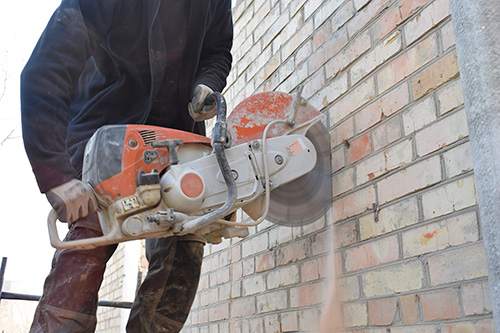
Concrete Imaging & Inspection
Concrete imaging uses advanced GPR technology to locate embedded materials and structural elements within slabs, decks, and walls. This non-destructive method delivers accurate, real-time findings that help prevent strikes, delays, and costly rework.
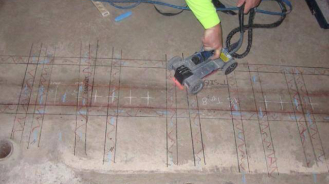
Concrete Structural Analysis
Concrete structural analysis uses advanced radar imaging to assess the internal composition of slabs, decks, and walls. Our scans reveal reinforcing steel, post-tension cables, voids, delamination, and variations in thickness so you can understand structural integrity before modifying or loading a structure.
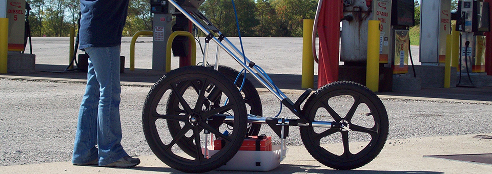
Utility Locating & Mapping
Utility Locating & Mapping identifies underground electric, water, gas, communications, sewer, and unknown lines before digging or construction begins. Using GPR and EM locating, we map both metallic and non-metallic utilities to reduce risk and protect your crew and infrastructure.
Geophysical & Archaeological Investigation
Geophysical and archaeological investigations use GPR and related methods to identify unmarked graves, buried features, utilities, and structural remains without disturbing the ground. This service supports cultural preservation, site documentation, and planning for projects within historically significant areas.
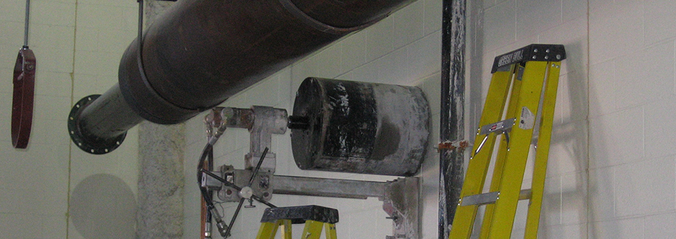
Core Drilling
Core drilling delivers clean, precise openings for pipes, conduits, anchors, ventilation systems, and structural sampling. With diamond-tipped equipment for horizontal and vertical surfaces, we cut through concrete, masonry, and foundations with accuracy and minimal disruption. This non-percussive method supports MEP installations, renovations, and engineering assessments requiring reliable penetrations.
Right Information | Right Guidance | Right Results
Why Contractors Count On Taylor’s
We know that having the right data before you cut, core, or excavate is critical. Our team provides accurate subsurface imaging, clear on-site explanations, and dependable guidance so you can work safely and avoid costly surprises. These principles shape every scan we perform and help keep your project moving on time.
Expert Technicians
Our scans are performed by trained imaging specialists who understand subsurface data and communicate findings clearly on-site.
Advanced Equipment
We use professional-grade GPR and locating instruments maintained for peak performance to deliver reliable, detailed results.
Non-Destructive Methods
Our imaging process keeps your site intact—no drilling, cutting, or disruption—helping you plan work safely and efficiently.
Fast Turnaround
We mobilize fast and provide clear results on the spot so you can keep your project moving without unnecessary delays.